


Our Saturday post is light and fun. Today, we take a look at the journey RFCP designers took in finalizing the map of CPW during the creation of the new league.
When RFCP declared independence from CPA and set to work forming CPW, the design of a new server map was first priority. It was even discussed the very same night.

Much of this creation process after this occurred through back-and-forth emails with Prior Bumble and Brigadier (then Lieutenant) Waffle, as Prior took a well needed leave in the interim.

The map went through several stages and revisions. First, Arne took concepts from Opino3, Roman, and Waffle and created a colorized initial draft.

A Map Team group chat was formed, where the original cohort discussed style.

They suggested making the map military rather than techy, with grey and red contrast, and tested it out on a rough blueprint.

This was fleshed out and applied onto Arne’s framework. Then resources were added, designed by Roman.
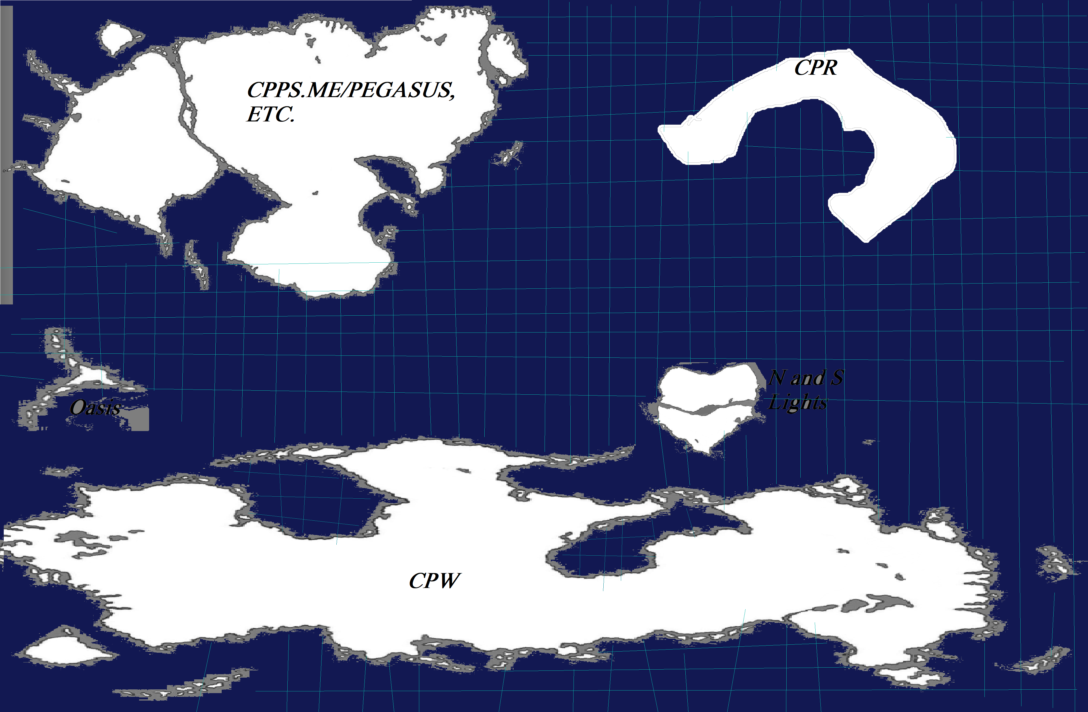
These were submitted to Commander Prior. Although delighted, he saw that the continents of CPR and the miscellaneous CPPSes were present, but knew CPW would need a large continent to accommodate its 40 servers. And so, to make room, and to depart from the east–>west traditions of the CPA map, Prior shifted the map by 90 degrees, placing the misc. CPPS continent on top. He changed the CPR continent to become the CPW continent, and created a new continent in the above right corner to host CPR instead.

The colorization proposed in the early proof, however, was decided to be too fantasy-themed. The next phases of colorization sought to be more futuristic, and to echo themes of Club Penguin’s EPF.

From his email, Prior proposed three color schemes.

Originally, the dark blue was favored. But some on the design team felt it too closely recalled the CPA map. CC_Jay suggested the teal option. As it turned, the third option, black, was one everyone agreed on. So, the next step was to make the continent translucent. There was another issue as well with the current version: the islands. Although the original idea was to make use of many islands, the reality was that they would be too small for a nation’s color to be seen well. Prior ordered the outline of the map smoothened and the islands reduced.

Next, it was time to add the server borders! Prior Bumble was the main architect for this step.


He ran out of room in the CPW continent to house all 40 servers, though, and something had to be done.


The additional servers were sketched in.

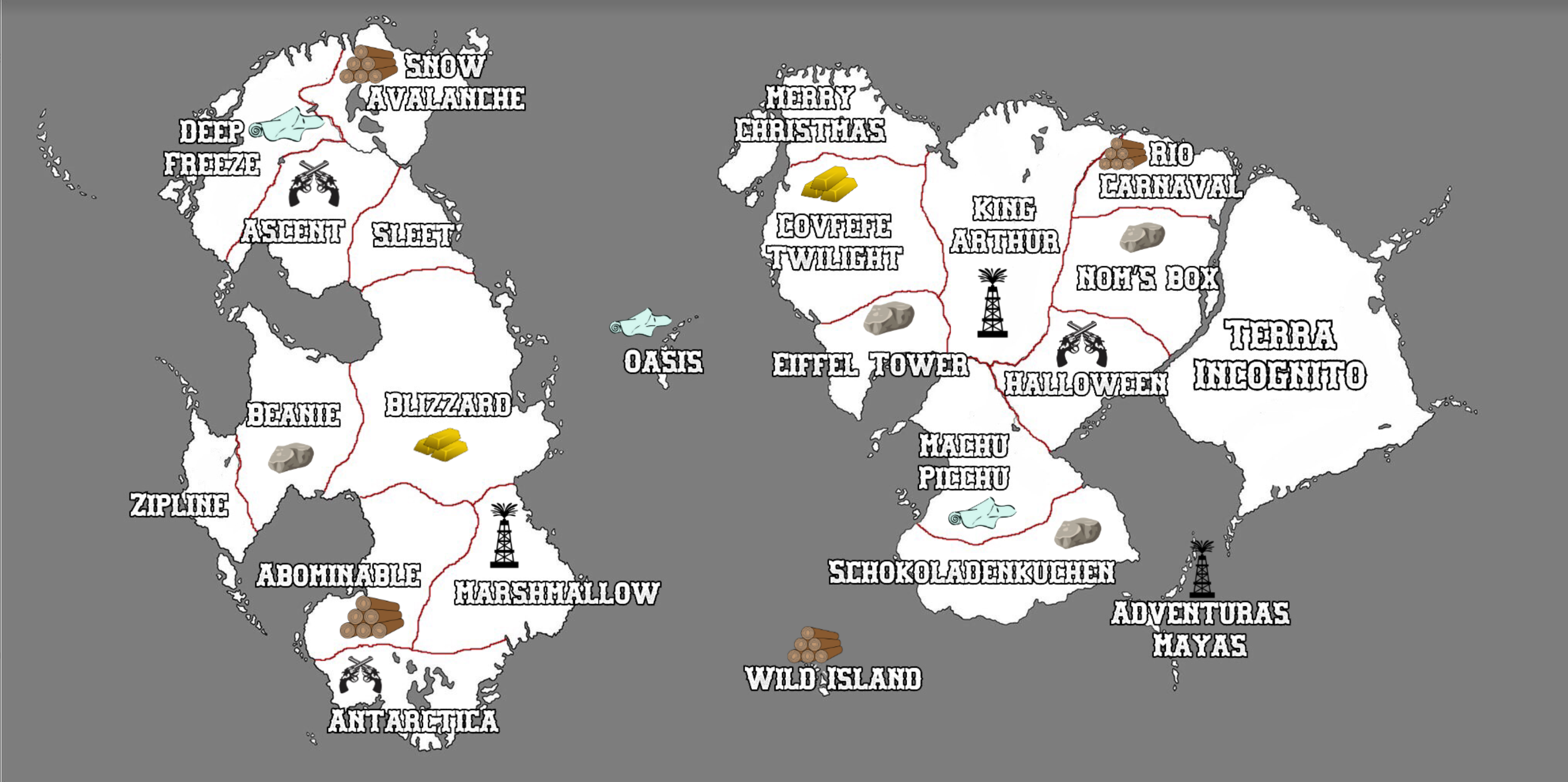
Final jpeg product:

So! The map was all set as an image. But how would it become interactive? A healthy and dynamic league map is always changing color. From this point, Prior hired outside help to convert the map into an HTML digital map. He provided a chart of the servers and resources for the hired technician to follow.

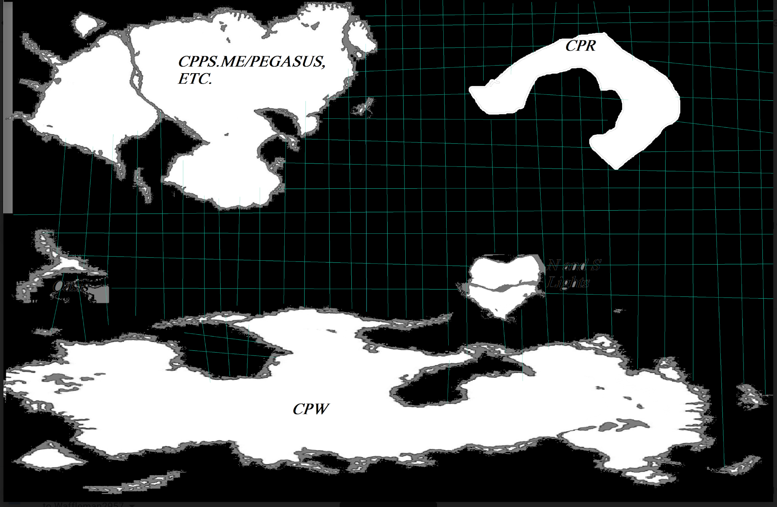
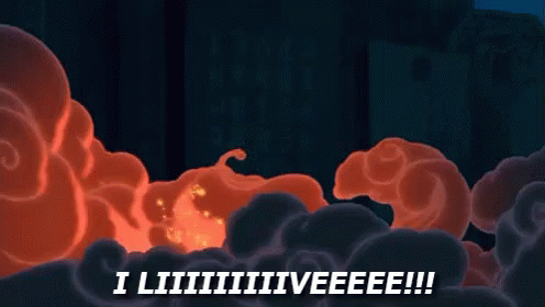
After hours of work, the technician brought the map to life. Here are three screenshots of the map being uploaded, taken at about 10 minutes apart.


Voila! It liiiiiiives! http://play.clubpenguinwarfare.com/map/
But some of the servers were mismatched. Prior knew he’d have to correct that, but he also knew the map would undergo lots of other edits in its lifespan. So, once the map was up and running, Prior paid for a tutoring session between himself and the technician, so he could be taught how to use coding to update the map alone. It took a few hours to get the hang of something entirely foreign to him. Now, he is the only Admin who operates the CPW map.
And here is the map as of today:

Cartographic Lore!
If your blood runs purple and black for RFCP, we know you love lore. The CPW map already has two pieces of lore!
- Was Northern Lights (CPW) once a part of CPR?
It’s possible. Tectonic plates have moved these landmasses around, and geographers believe there is enough evidence to suggest that Northern Lights was once connected to CPR c. 3.1 million years ago. Consider the shape of Northern Lights and the contour of the CPR gulf:

2. The Hidden Lake
The final jpeg image of the CPW map had a lake in the center of the CPW continent, just above South Pole.

But it mysteriously disappeared in the final publication of the map. South Pole extends over it. What happened to the lake? Did it dry up? One theory circulating is that it was not a lake of water at all, but of lava, and that it submerged back into the earth. Will it ever come back? Or is it actually a secret server that CPW insiders don’t want the public to know about?
For now, we’ll call it the Hidden Lake. But it could be more like Area 51.
Worlds are ever changing. Even worlds we imagine. The CPW map was an awesome combination of minds and efforts, and to see the long journey of where it came from to where it is today makes it that much more profound.
Filed under: Uncategorized


Leave a Reply